 ROCKHOUND SCOUT
Find rockhounding hotspots along Texas highways
Rockhound Scout checks published geologic map data along state and U.S. highways, finds the stretches where one rock formation meets another, prioritizes drainage crossings, and writes you a field guide entry (Hotspot Card) for each one: where to look, what to watch for from the truck, and what you might find.
Simple Search Controls
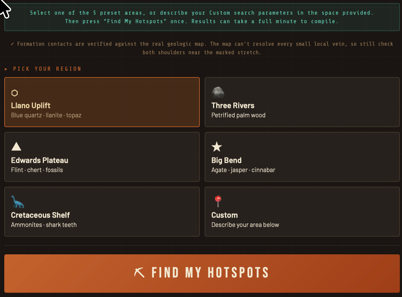
Actual Sample Hotspot Card
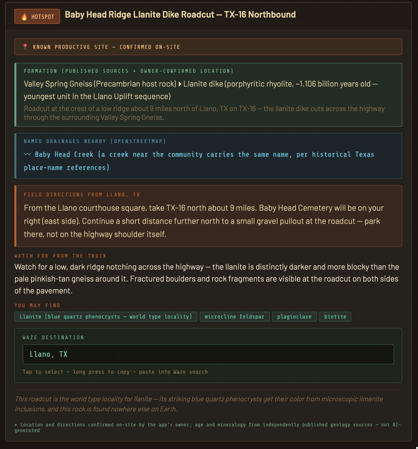
The app itself: pick a region, tap Find My Hotspots, and get back a real hotspot card — this one for the Baby Head Ridge Llanite Dike Roadcut, one of the only sources of llanite on Earth.
How it works
- Pick a region or type your own Custom area. Choose a preset Texas region, or use Custom to type a town, area, or a plain sentence like “within 20 miles of my hotel at [address]” or “agatized petrified wood near Bryan, TX.”
- The app reads the maps. It finds nearby state and U.S. highways, samples the geologic map along each road, and prioritizes named drainages. Those contacts are where minerals, fossils, and petrified wood often concentrate.
- You get hotspot cards. Each card gives the formations on either side of the contact, named creeks nearby, driving directions from a nearby town, what to look for from the truck window, likely finds, and a Waze search term.
What’s in it
Preset regions
Llano Uplift, Three Rivers, Edwards Plateau, Big Bend, and the Cretaceous Shelf.
Custom search
Any spot in Texas. Type a town, address, or what gems/minerals you’re hunting. Included at no extra charge.
Map-based locations
Formation contacts come from searching published map and geologic data.
Informative & helpful write-ups
Top-shelf instructions, tips, and data for every hotspot — nothing generic or boilerplate.
Real finds
No stock photos here. These are the owner’s found treasures, pulled straight out of the ground by chasing similar Hotspot cards all over the great state of Texas.
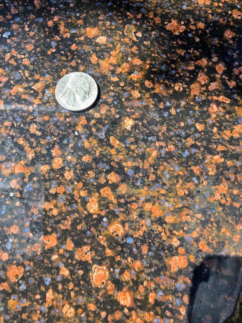
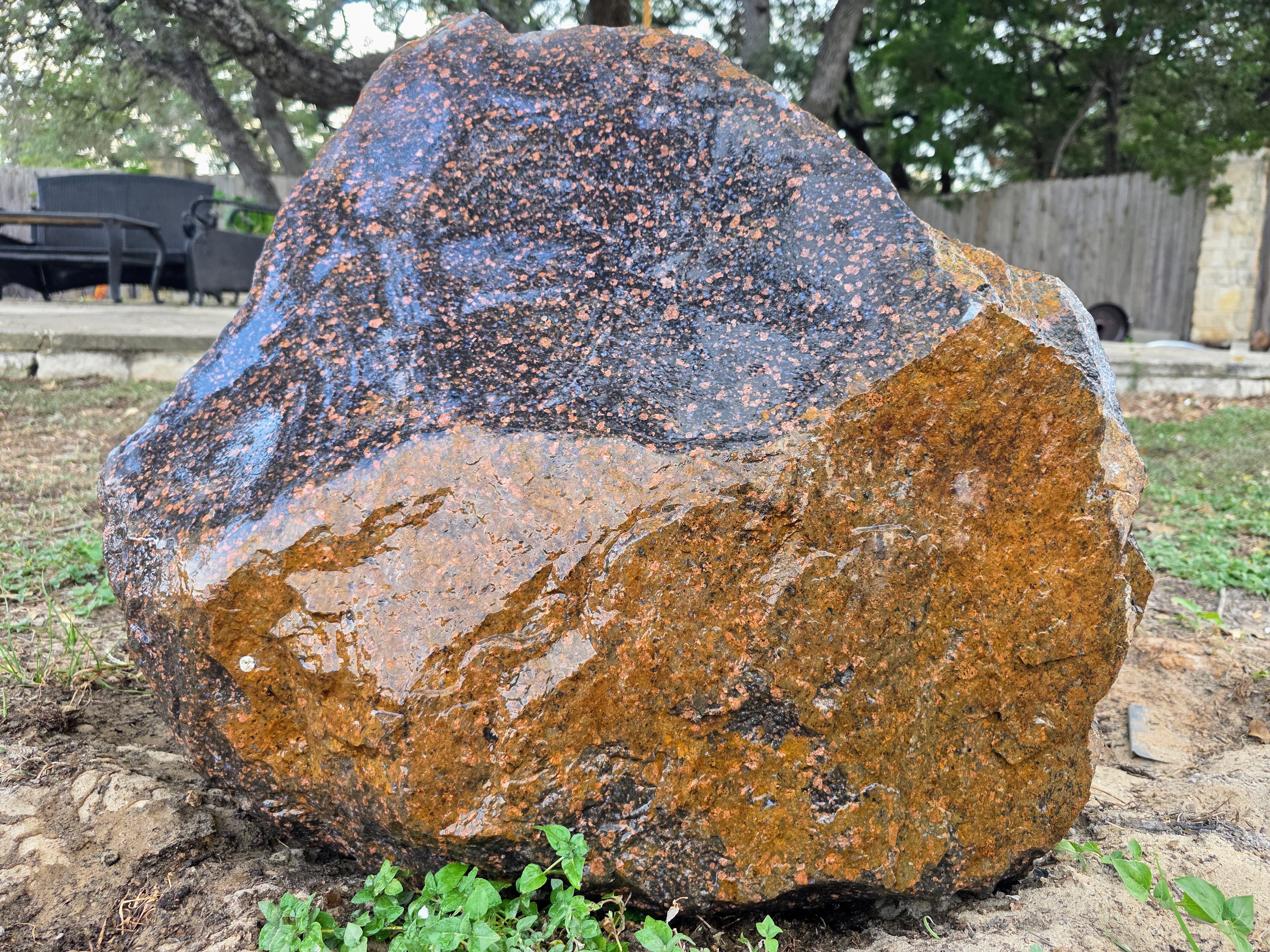
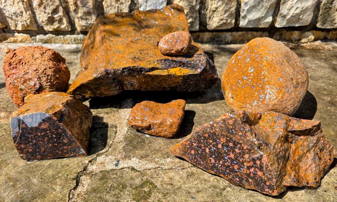
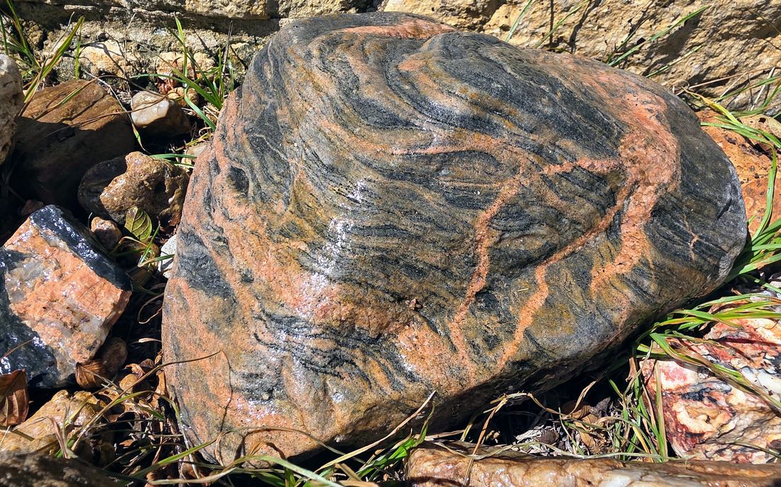
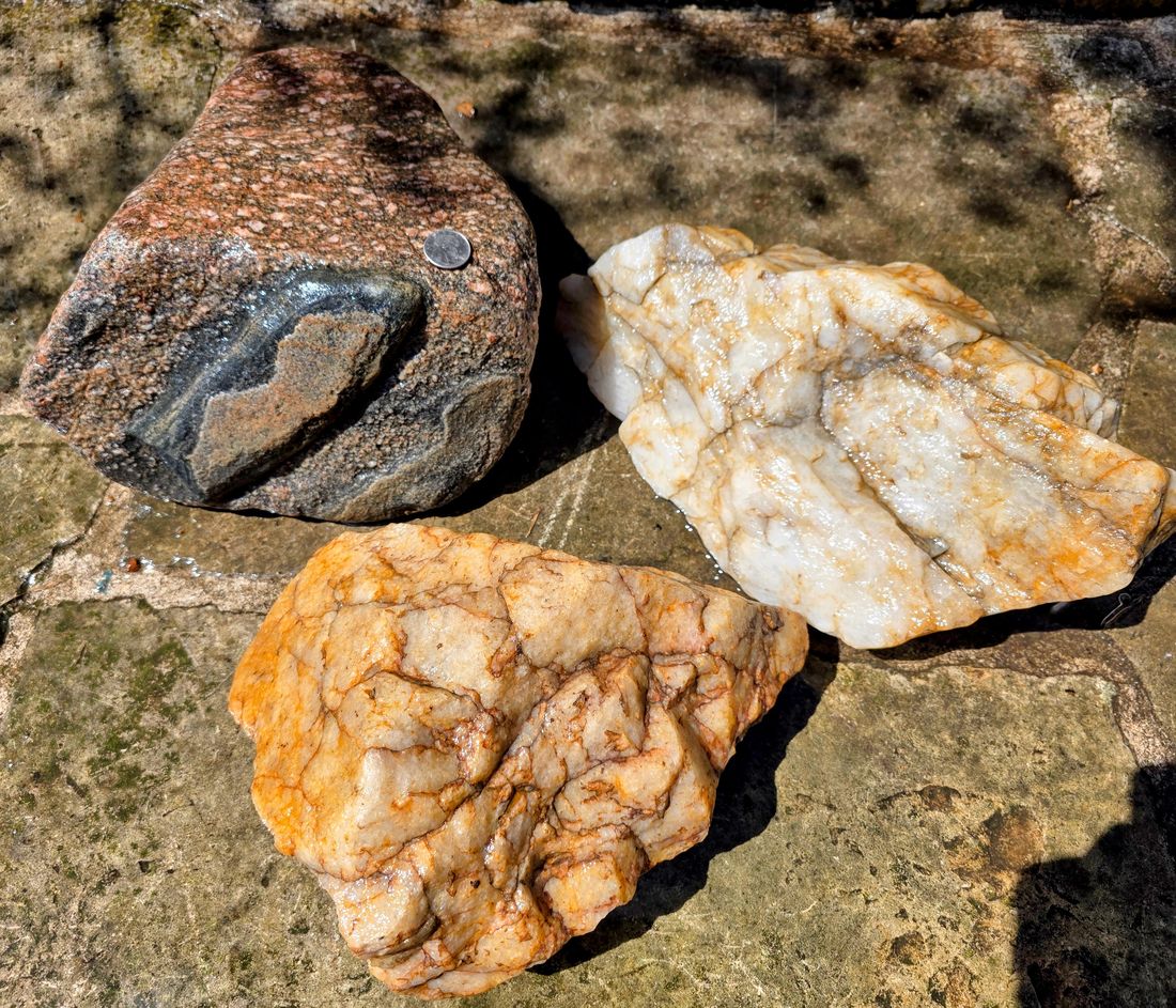
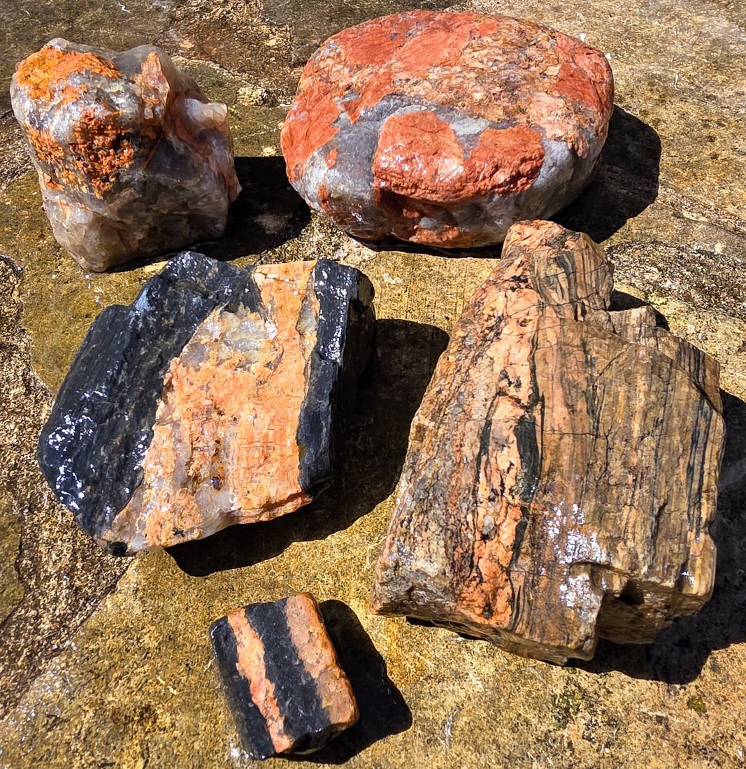
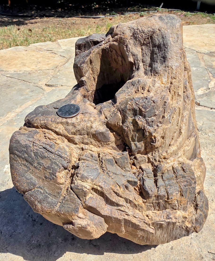
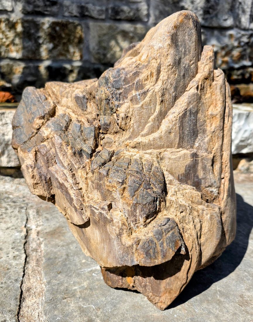
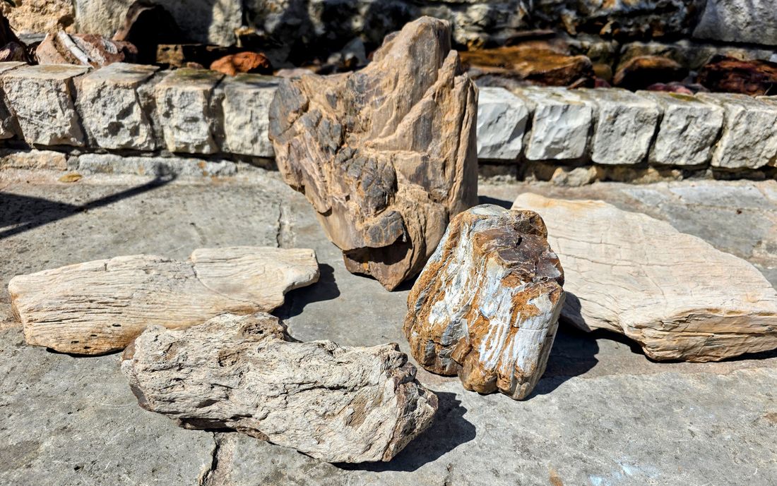
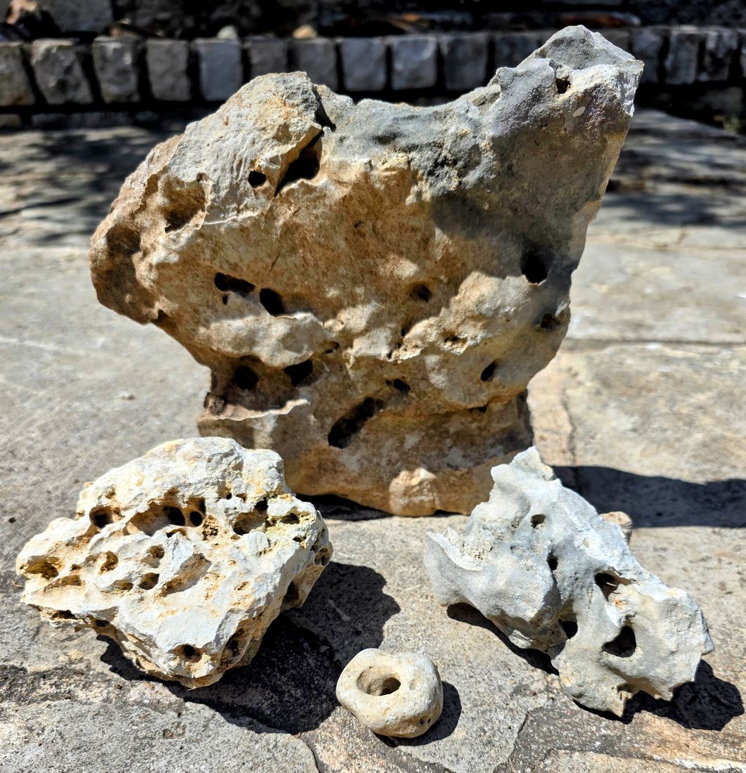
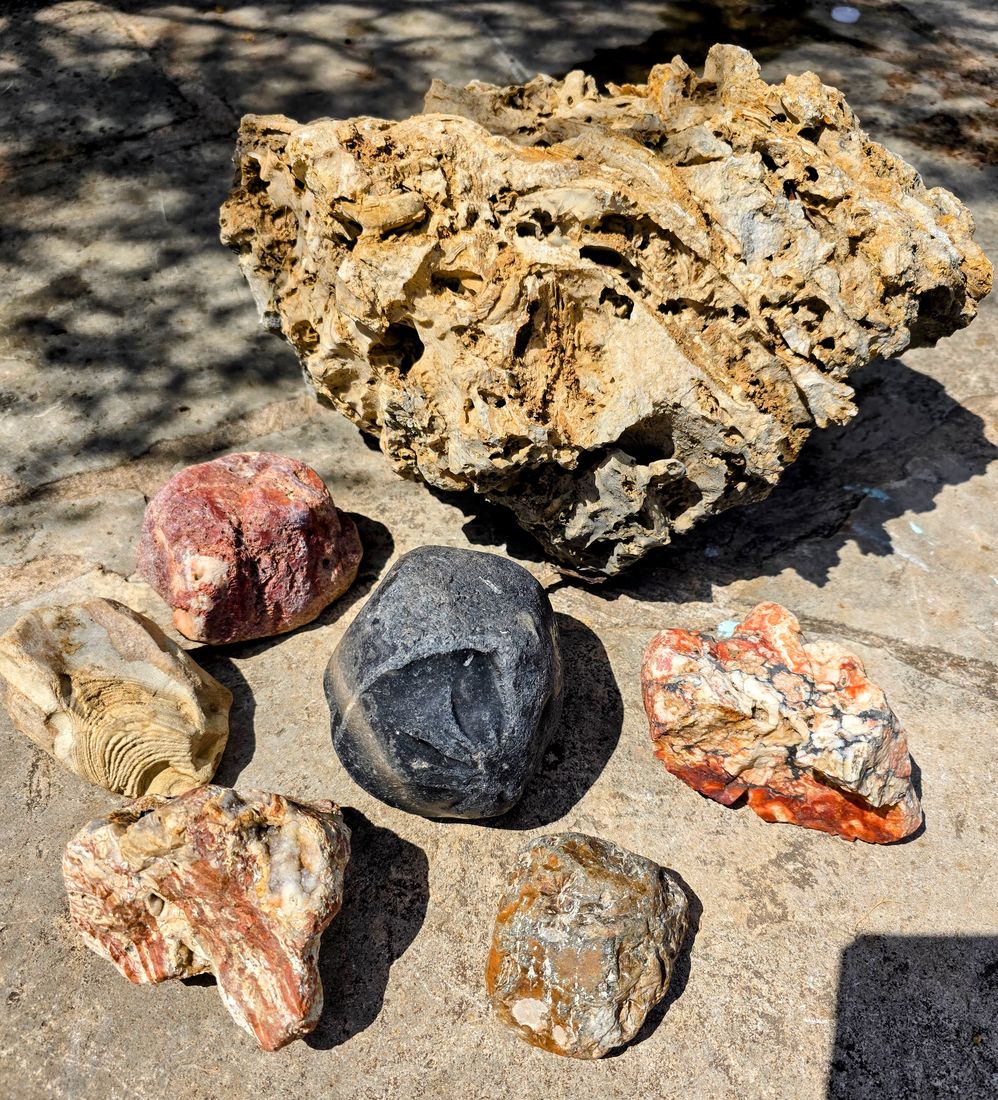
Tap any photo to see it full size.
Scans can take a minute to run — be patient.
Rockhound Scout doesn’t pull from some pre-made list. Each time you press the button “Find My Hotspots,” the app is out there live: pulling real highway data, sampling the geologic map mile by mile along every road in your target area, and cross-referencing rock formations in real time. Scans can take a minute or so to run — be patient. There is a tremendous amount of data to query. If you’re the type who finds that kind of thing impressive rather than annoying — welcome, you’re among friends.
Pricing
- 200 scans, preset regions or Custom
- Custom area search included
- Scans never expire
- No subscription and no recurring charges
One “scan” is one tap of Find My Hotspots. A scan that ends in an error, or that finds no hotspots, isn’t deducted. See the Refund & Dispute Policy.
Straight talk about what this is
This is a research tool, not a guarantee. Geologic maps can’t show every small vein or outcrop, so a marked stretch is a starting point: check both sides of the road nearby. Most Texas land is privately owned, so always get the landowner’s permission before collecting, park off the highway shoulder, and follow all traffic and land-use laws. Please read the Terms of Service.
Questions
Is this a subscription?
No. It’s a one-time $25 purchase for 200 scans. Nothing renews and there’s nothing to cancel.
Do scans expire?
No. Use them whenever you like.
What counts as a scan?
One tap of Find My Hotspots, for a preset region or a Custom search. If the scan ends in an error or returns no hotspots, it isn’t deducted.
Can I get a refund?
We don’t refund unused scans or change-of-mind purchases. If we charge you by mistake, a scan is wrongly deducted, or the app is broken for an extended period, we’ll make it right. Details are in the Refund & Dispute Policy.
Does it cover places outside Texas?
Not yet. Rockhound Scout currently works only for Texas.
Where does the data come from?
Rock formation data comes from Macrostrat, a public database that compiles published geologic maps from sources including the U.S. Geological Survey and the Texas Bureau of Economic Geology. Roads and creek names come from OpenStreetMap. AI is used only to write the descriptions.
How do I contact you?
Email RockhoundScoutApp@gmail.com.
“I built this app to work the way I already hunt: pull up the geologic map for my target area, then picture it laid over satellite imagery, watching for the drainages that cut under public highways. I figured that process would make a good app. It turned out far better than I expected — I hope you enjoy using it as much as I’ve enjoyed building it.” — John Thompson, founder, Rockhound Scout